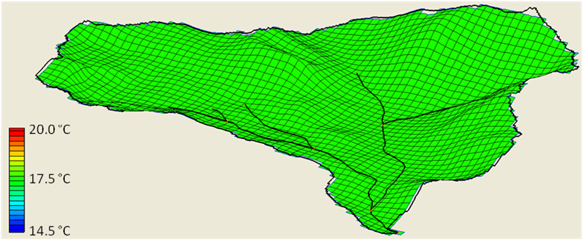
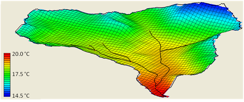
An orographic effect is the natural cooling of air masses when they rise from lower elevations to higher elevations due to terrain. GSSHA currently has two options for accounting for orographic effects. The user is able to define a constant lapse rate when only one temperature gage is located within the basin, and an option where GSSHA calculates the lapse rate hourly based on multiple temperature gage locations within the basin. The basic premise of the adjusted temperatures in each cell is shown in the equation below. The figures below demonstrates a uniform temperature profile for an entire basin, and a temperature profile that accounts for orographic effects.
-
|
Tadj = T - (Elevcell-Elevgage)*LR |
(1)
|
| Tadj = adjusted temperature (C)
|
| Ta = temperature measured at the gage site (C)
|
| Elevcell = elevation of grid cell (km)
|
| Elevgage = elevation of gage site (km)
|